 Road traffic is a challenging societal problem, and with the increasing crowding of areas in and around cities, it is only becoming worse. With the proliferation of wireless connectivity, smartphones (think cheap embedded computers), it is now possible to continuously monitor urban areas using mobile sensors carried by people while they drive.
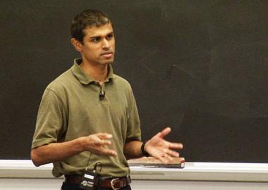
 In this lecture, Hari Balakrishnan describes three challenges that need to be met in using data to help commuters—pedestrians, bicyclists, drivers—reduce the time (and fuel) spent stuck in traffic: 1) accurate modeling of traffic delays while conserving energy and protecting user privacy, 2) accurate predictions of future traffic conditions, and 3) “traffic-aware” routing to provide credible, time-sensitive routes to users.
While not a transportation “guru” himself, Balakrishnan has applied his considerable background in computing and networking to creating applications that capture data and use it in ways that provides drivers with real-time, “traffic-aware” solutions.
The broad premise of The CarTel Project is that solutions do not require massive investments by governments, but can rely on the electronics that most of us carry with us every day—cell phones. The technology has been around for years, but dramatic changes in
computing and networking now allows its application at a massive scale and at sustainable costs.
Today’s smartphones are faster than your 2002 desktop and have the added advantage of including sensing and actuation capabilities—GPS, camera, microphone. Wireless availability produces a steady stream of data captures. Multiply this by the number of people carrying these devices and the amount of data captured is impressive. In return, you are provided with personalized feedback—your best route to a destination at a specific time of day linked to your personal calendar or pre-emptive warnings about current road conditions.
Since privacy is an acknowledged concern whenever user-specific data is captured, Balakrishnan’s project integrates solutions that protect information. For instance, the government may need to know when you exceed the speed limit by 10% so it can issue you a ticket; however, when you do not exceed that limit, the government cannot determine how fast you are driving or where you have been driving. Without having to provide exact data about your travels, the CarTel applications have “developed ways to compute functions of a trajectory that don’t reveal to the server your exact details, but do allow computations to be done correctly.”
After describing the user-facing programs, Balakrishnan goes into extensive detail explaining the mathematical elements behind the applications—data collection (“crowd-source” model), estimation and predictions (errors and noise), feedback algorithms (distribution around an approximate time), and stochastic considerations (maximizing probability of a desired event). Using overheads, he provides examples and information about the complexities of the algorithms and networking protocols working behind the scenes.
Balakrishnan ends the lecture with a Q&A session in which he clarifies certain aspects of his lecture and describes future plans for the project....Read the full article/Watch Video
For more techical information visit our sister website www.engineeringmaintenance.info or for equipment procurement please visit www.engineeringtrader.com

